Three Decades of Measured Authority
Founded in December 1998, The Mapping Company has built an uncompromising reputation for precision land surveying across the England, Scotland and Wales. Our experienced team and commitment to RICS professional standards ensures every deliverable meets the exacting requirements of legal proceedings, planning authorities, and Land Registry submissions.
Our Team
A dedicated team of surveying professionals bringing together decades of combined expertise in land surveying, cartography, and client service.
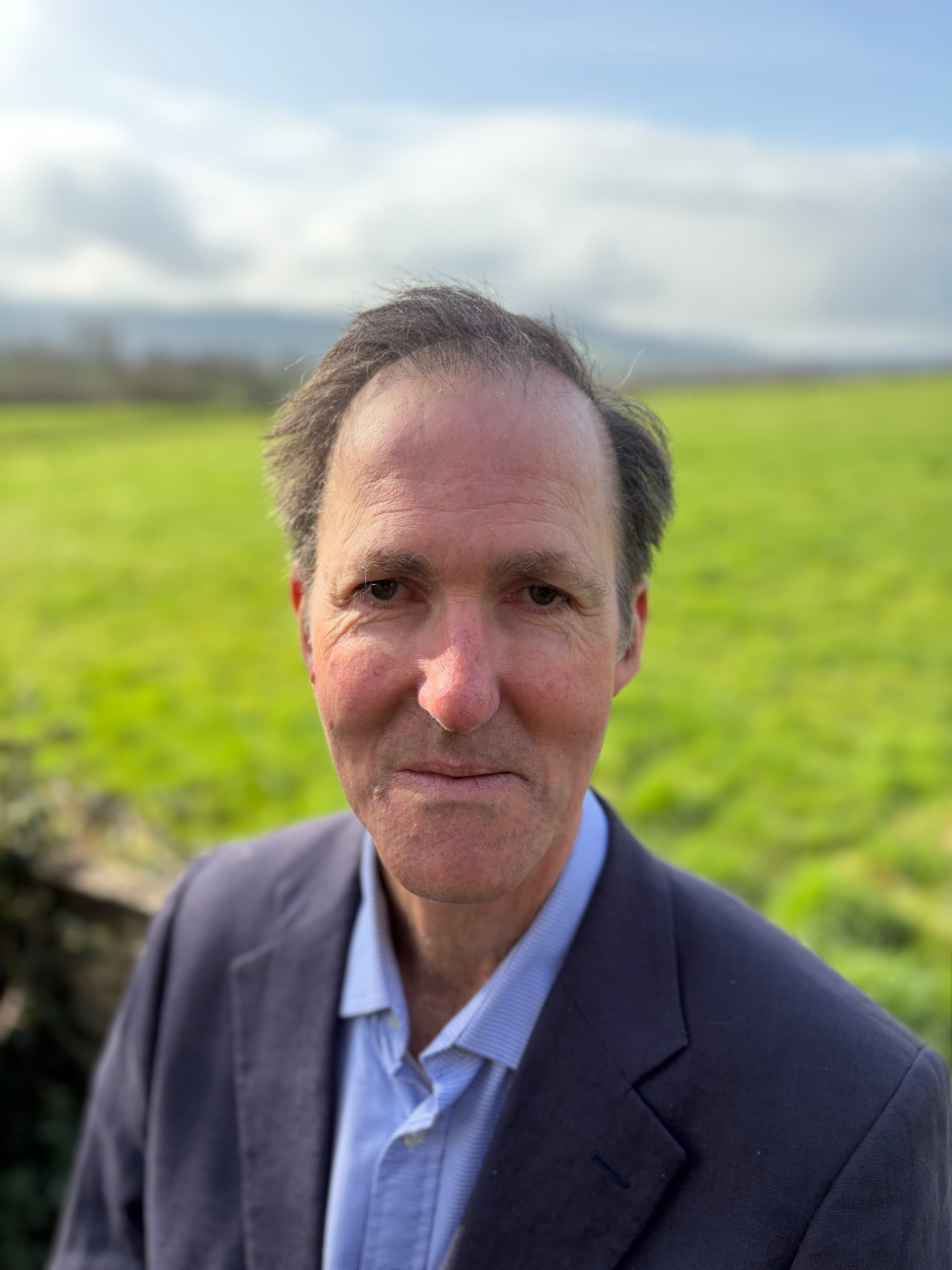
Patrick Rose
Director / Chartered Surveyor
MRICS FAAV
Patrick began his career as a Land Agent with The Crown Estate in Somerset, where he was involved in estate management for over 10 years. Recognising the potential of digital mapping early on, he founded The Mapping Company in 1998. What began as a two-person operation has grown into a team of seven, delivering over 27,000 mapping and surveying projects to date. Patrick takes particular pride in the number of clients who return time and again. He specialises in on-site surveying for a wide range of purposes — from preparing conveyance and transfer plans to setting out new boundaries, advising on property divisions, and resolving complex conveyancing issues. He has been appointed as both a single and joint expert witness in boundary disputes. In his spare time, Patrick can be found on the banks of various rivers in Devon and Scotland, he has run a number of shoots for over 30 years and loves being out on the water in his beloved boat.
- Founded company in 1998
- 27,000+ projects delivered
- Expert witness specialist

William Frazer
Chartered Surveyor
MRICS
Will joined The Mapping Company in November 2024, bringing with him a background as a Rural Land Agent, primarily focused on estate management. He has since pivoted his career to specialise in mapping and surveying, with a particular focus on surveying new boundaries, verifying existing ones, marking undefined boundaries on site and advising on property divisions. Will enjoys working outdoors and travelling across the countryside to meet clients face-to-face. In his spare time, he enjoys sailing and going for long walks with his family and their dogs, Zephyr and Kanga.
- Chartered Surveyor (MRICS)
- Rural land agent background
- Boundary surveying specialist

Adam Gamble
Cartographer
BA (Hons) Geography
Adam joined The Mapping Company in September 2017, a year after graduating with a BA (Hons) in Geography. Since then, he has worked on thousands of projects across England, Scotland and Wales — from residential conveyancing plans to producing management plans for large rural estates. His role focuses on delivering accurate, high-quality desktop-based mapping solutions with a fast turnaround, tailored to the needs of property professionals and landowners. Outside of work, Adam enjoys football, running, walking and following a wide range of sports.
- 8+ years with the company
- Thousands of projects nationwide
- Fast turnaround specialist

Angela Prettejohn
Cartographer
Angela joined The Mapping Company in 2001, bringing with her valuable experience working alongside architects and land surveyors to process spatial data tailored to client needs. Her early career included assisting software programmers in developing an in-house CAD package, as well as processing LIDAR data, river cross-sections for the Environment Agency, and topographical surveys. She has also carried out data capture for measured building surveys, producing accurate floor plans and elevations. As a farmer's wife, Angela has first-hand experience of land management and a strong understanding of the challenges and regulatory requirements within the agricultural sector. Away from her desk, she is a keen swimmer, enjoys DIY, and can often be seen at agricultural shows leading pedigree Hereford cattle around the ring.
- 24+ years with the company
- CAD & LIDAR specialist
- Agricultural sector expertise

Richard Metcalfe
Cartographer
Richard joined the Mapping Company in August 2017 bringing with him a wealth of experience in the GIS industry. His previous roles include working as a Senior Information Technician for Somerset Highways and as a CAD/Revit Technician for Smith Brewer. Prior to that, he gained experience in database management as a Data Manager for Organisation Resource, a management consultancy based on the Somerset Levels. At the Mapping Company, Richard is part of the cartography team, producing a wide range of mapping outputs — from Land Registry compliant plans to large-scale estate maps covering over 15,000 acres. Outside of work, Richard enjoys running, golf, hill walking and surfing — although he admits his last surfing trip was sometime ago.
- 8+ years with the company
- GIS & CAD specialist
- Large-scale estate mapping

Peter Thorne
Cartographer
BSc Geography
Peter joined The Mapping Company in October 2024 after graduating from the University of Exeter with a degree in Physical Geography with Applied GIS. He has worked independently as a GIS consultant, gaining experience with a variety of GIS platforms. Peter is based in the office and is responsible for preparing a wide range of plans and maps, supporting landowners, estate agents and solicitors across England, Scotland and Wales. In his spare time, Peter enjoys playing sports — particularly football and tennis, and also writes and produces music.
- BSc Physical Geography
- GIS consultant experience
- Nationwide client support
Our Approach
We seamlessly integrate field-acquired data from laser and GPS technology with desktop regulatory compliance using authoritative Ordnance Survey datasets. This dual intelligence ensures every survey meets both technical precision and legal validity requirements.
Modern Equipment
GPS systems, total stations, electronic distance measurement, and non-prism laser technology for comprehensive site capture.
Professional Standards
Every deliverable meets RICS specifications, ensuring acceptance by planning authorities and professional bodies.
Legal Validity
Documentation suitable for court proceedings, Land Registry submissions, and formal dispute resolution.
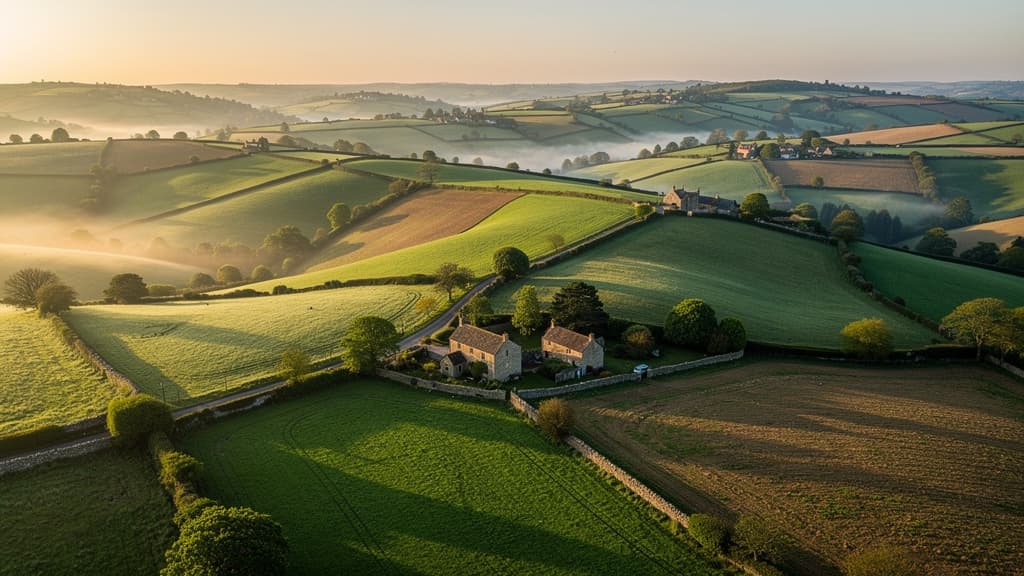
Our Coverage
Surveying services (topographical, measured building, and boundary surveys) focus on Wiltshire, Hampshire, Dorset, and Berkshire, with regular work also across Somerset, Devon, Cornwall, and Oxfordshire.
Mapping services cover the whole of England, Scotland and Wales — from the Shetlands to the Scillys. Desktop-based plans can be delivered anywhere in the country, typically within 24 hours.
Many of our clients have been with us since the beginning, and we take particular pride in these long-standing relationships.
Credentials & Accreditations
RICS Regulated
Regulated by the Royal Institution of Chartered Surveyors
OS Partner
Licensed Ordnance Survey Partner
PI Insured
Professional Indemnity Insurance

FAAV
Fellow, Central Association of Agricultural Valuers
Ready to discuss your project?
Contact our team to discuss your surveying requirements and receive expert guidance on the most appropriate approach.
Get in Touch